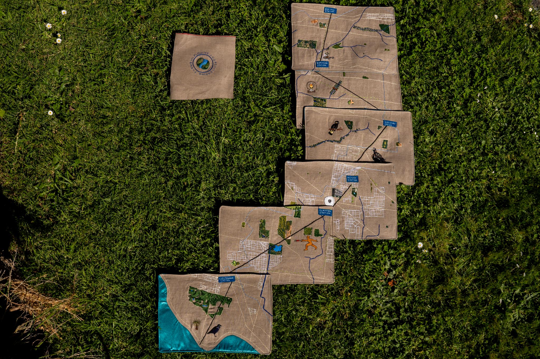
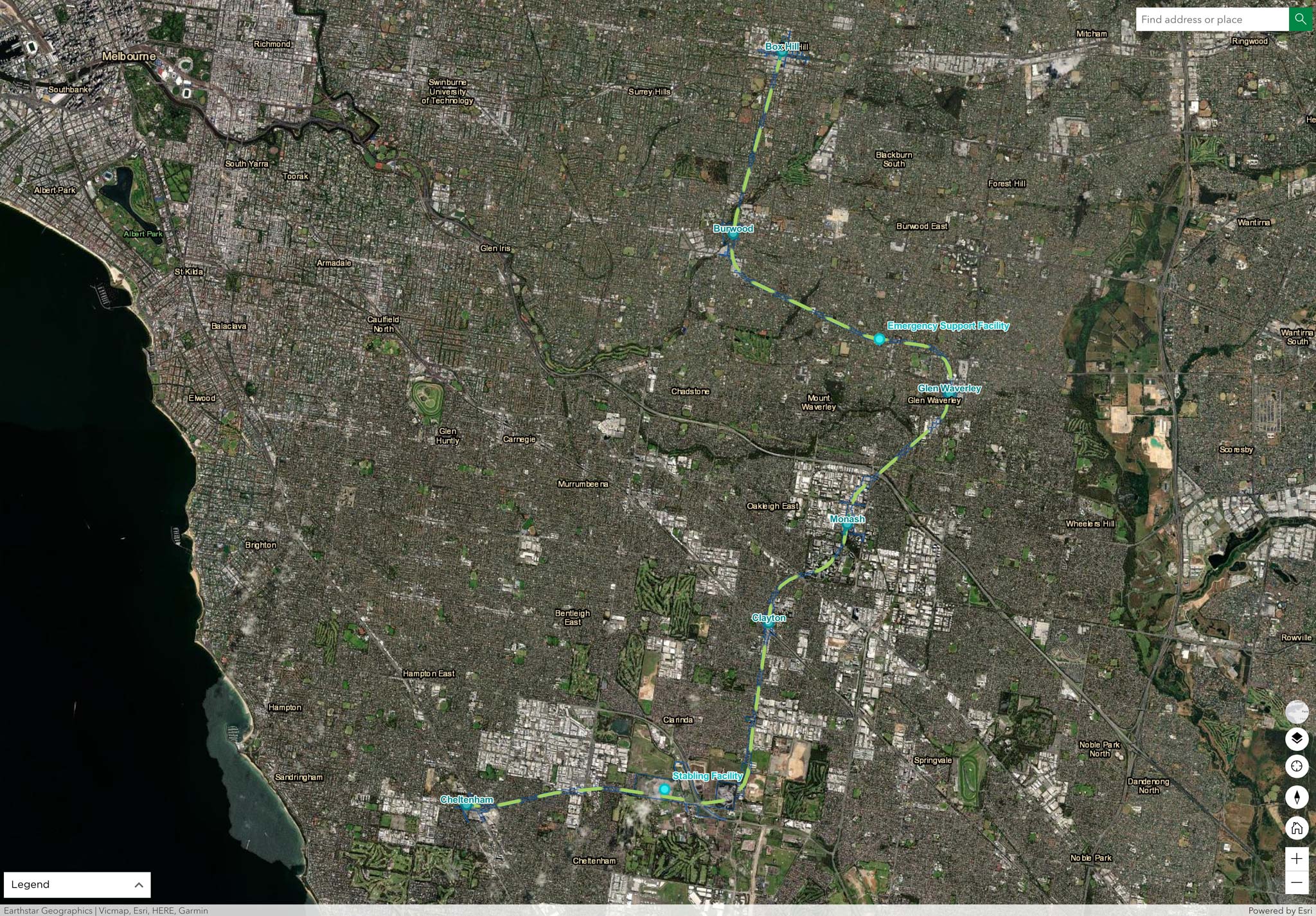
Dan Koop & six artists walked & talked following the route of the yet to be built Suburban Rail Loop from Cheltenham to Box Hill, looking for flows, loops and lines along the way.
Sometimes they followed the path of the new rail route, sometimes the shortest distance between stations and sometimes they followed the natural of flowing water already in the landscape.
Rather than a single epic journey, these landscapes were returned to at different times of year, following different routes and directions, much like we could imagine travellers on the train taking multiple journeys throughout a year.
Over time these routes intersected with different places and provided opportunities to make new connections with the community, such as Friends of groups, exercises, dog walkers, bird watchers and frisbee golfers.