We’ve divided the communities up into six maps, one for each of the new or upgraded train stations – move the sliders from left to right to see how we’ve seen things a little differently! Here’s an insight into the various routes we walked and the communities we met along the way.
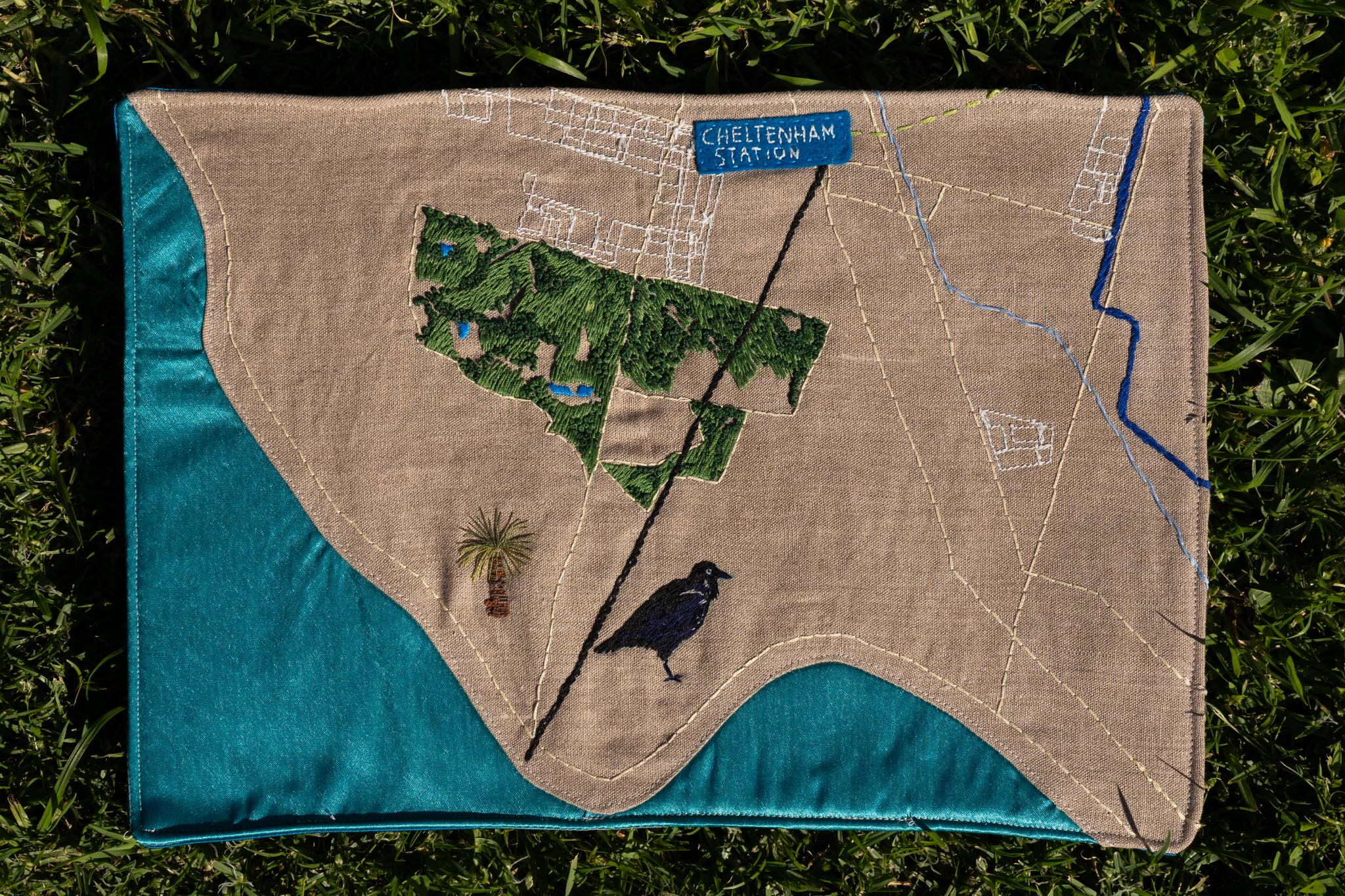
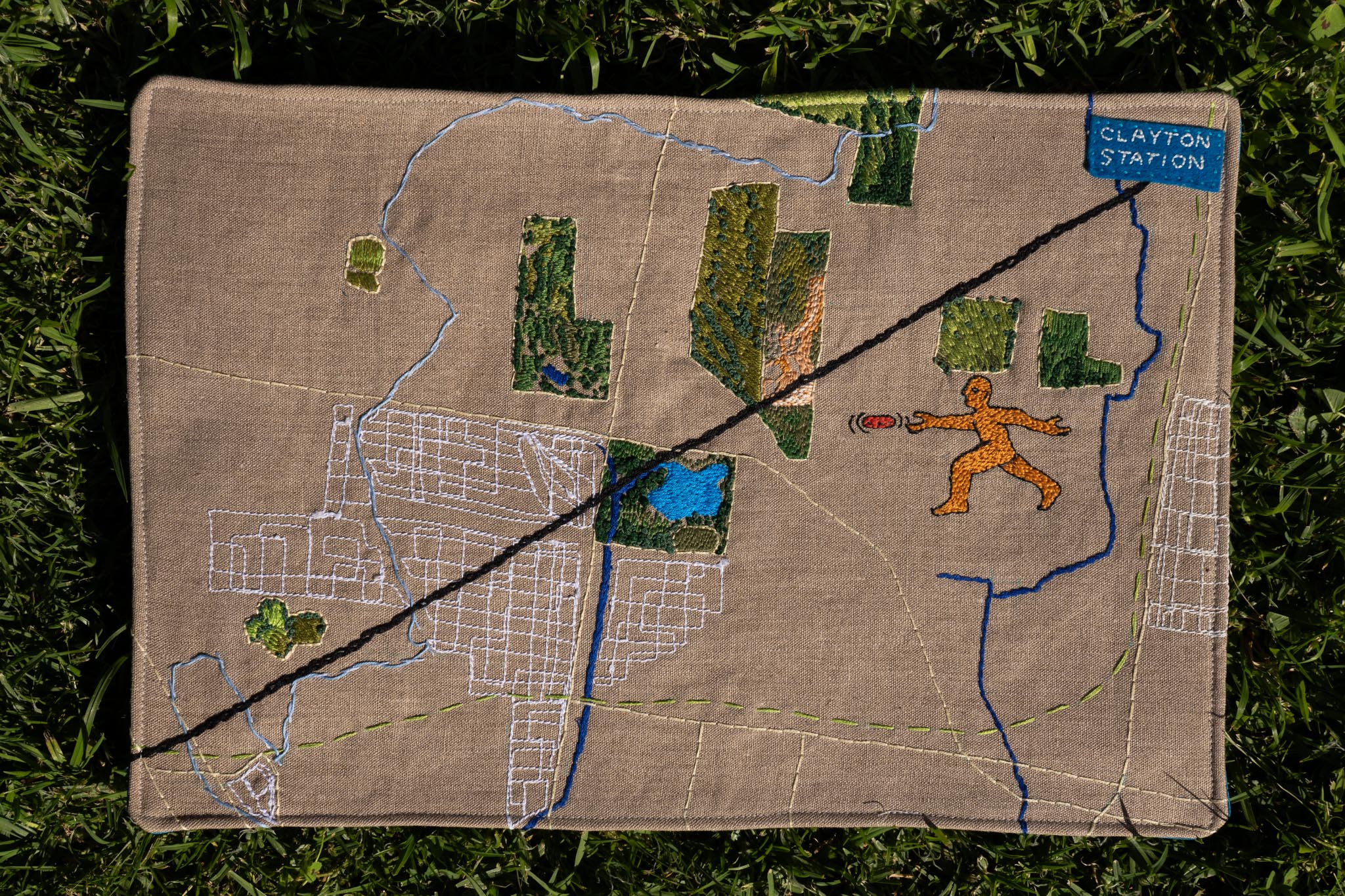
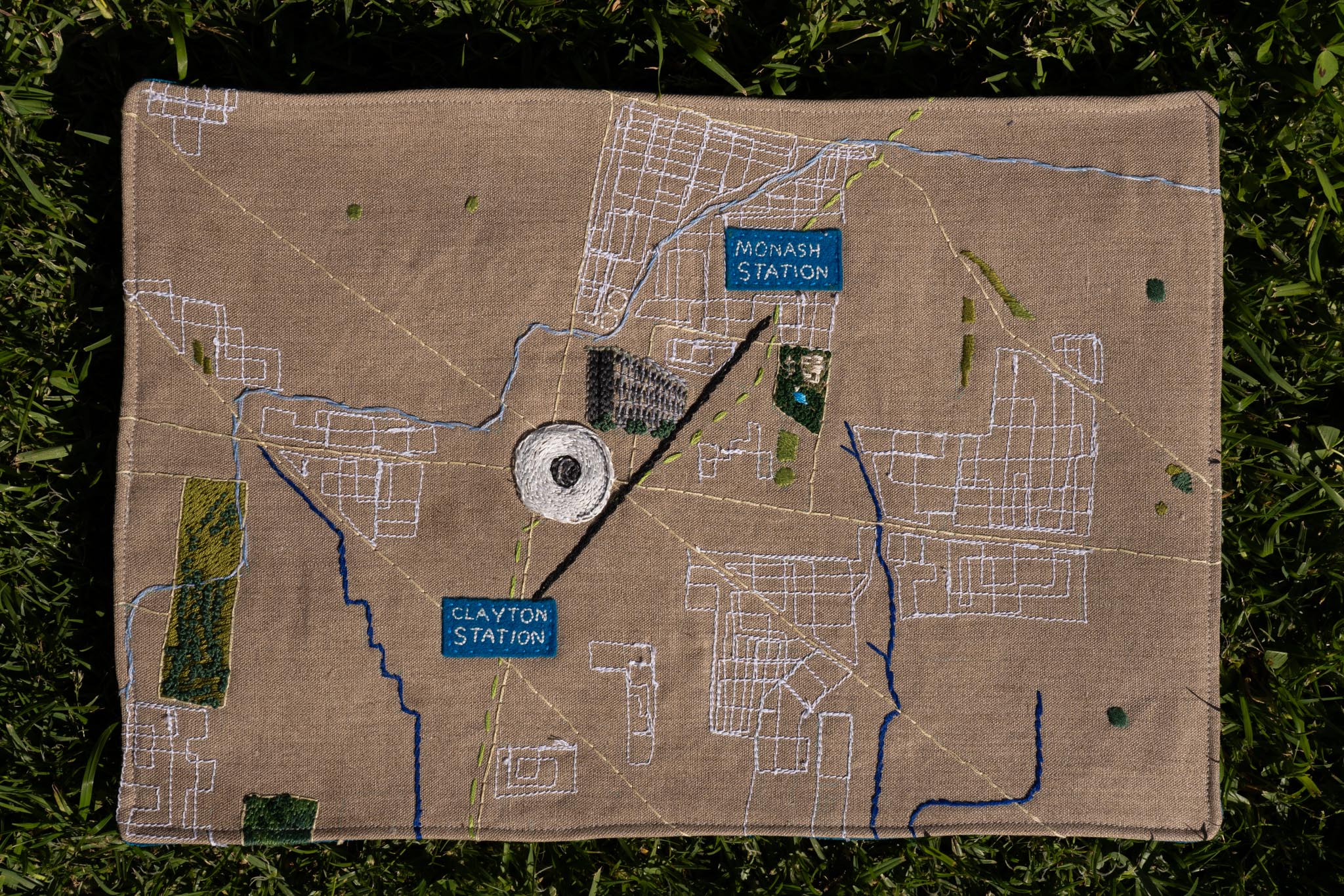
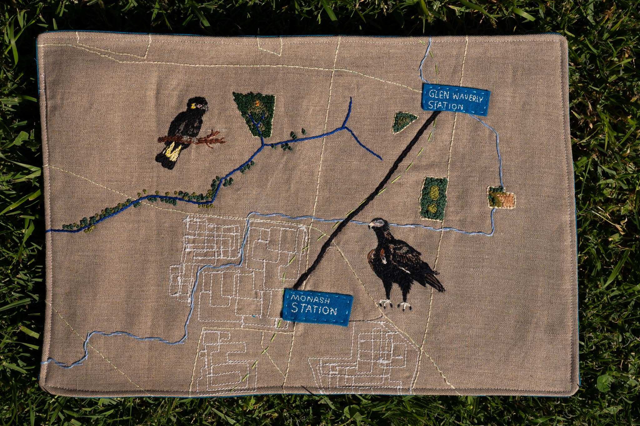
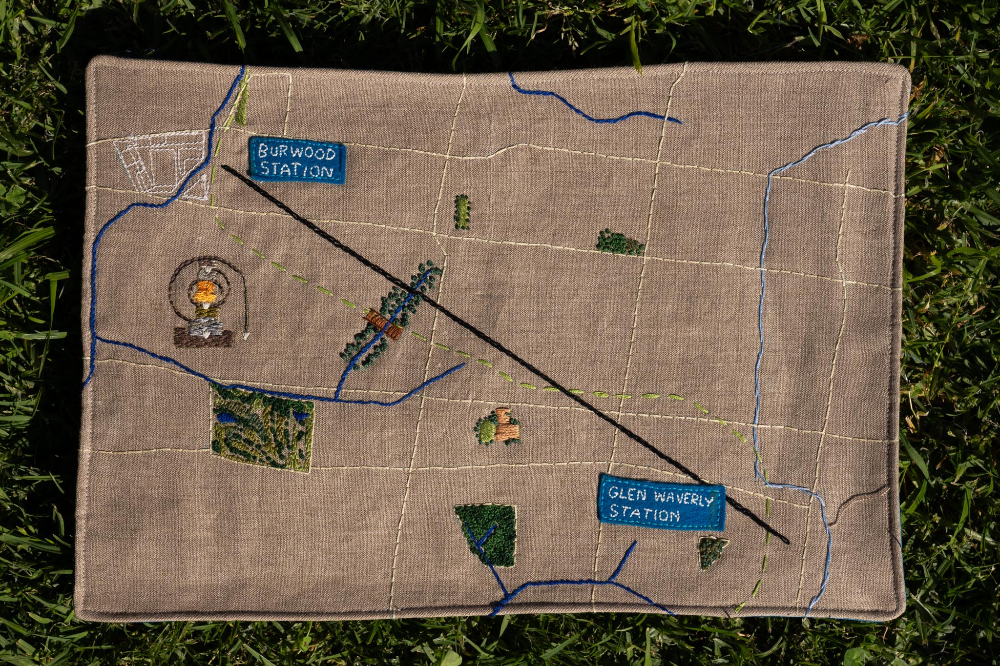
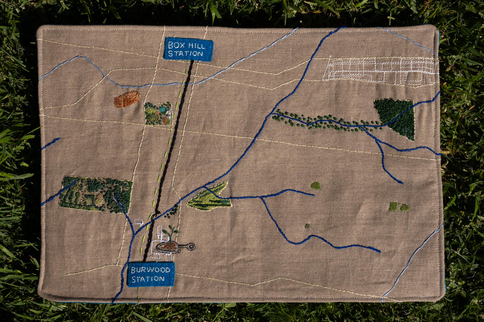
The Green Line is the route the Suburban Rail Loop tunnel will follow
The Black Line is the shortest distance or “as the crow flies”
The Dark Blue Lines are the lines of waterways – some you can see when you walk, others have been undergrounded
The Light Blue Lines are the boundaries of water catchment areas
The Yellow Lines are roads, which we’ve deliberately made less prominent!
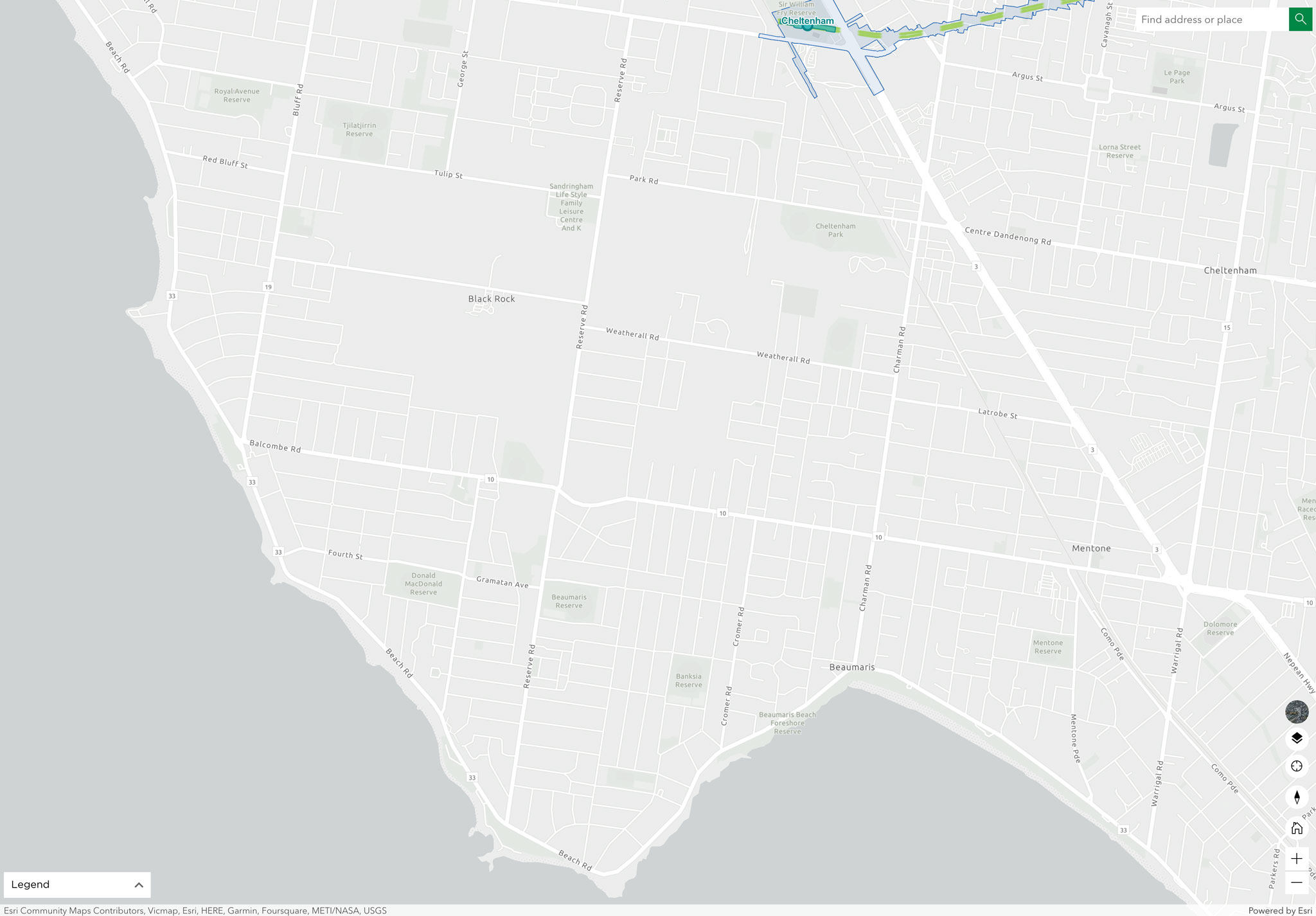
Cheltenham
From the bay’s edge at Ricketts Point to Southland Station, through Beaumaris, Black Rock & Cheltenham. Featured locations include Ricketts Point and Sir William Fry Reserve.
Here’s some community groups we met and further reading we learned from:
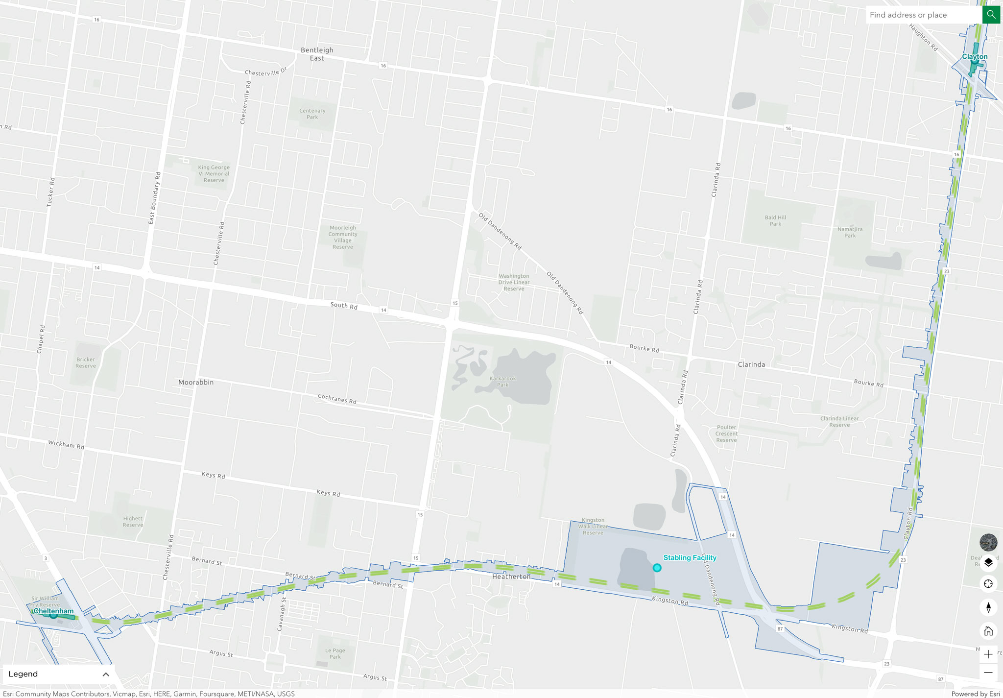
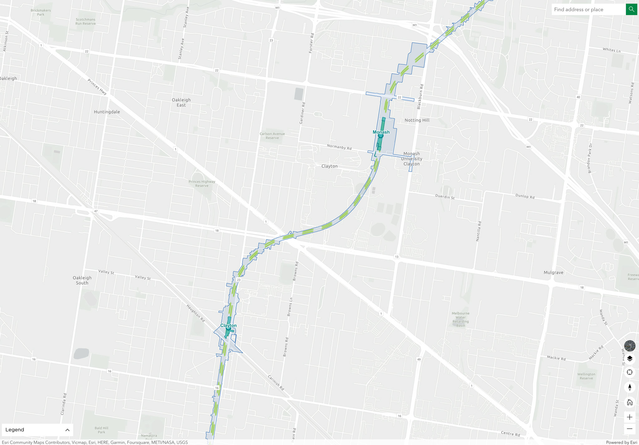
From Clayton to Monash Stations, through Monash University’s Clayton Campus. Featured locations include Public Art at the Monash campus and the Science Centre Lake at the Jock Marshall Reserve.
Here’s some community groups we met and further reading we learned from at Monash University:
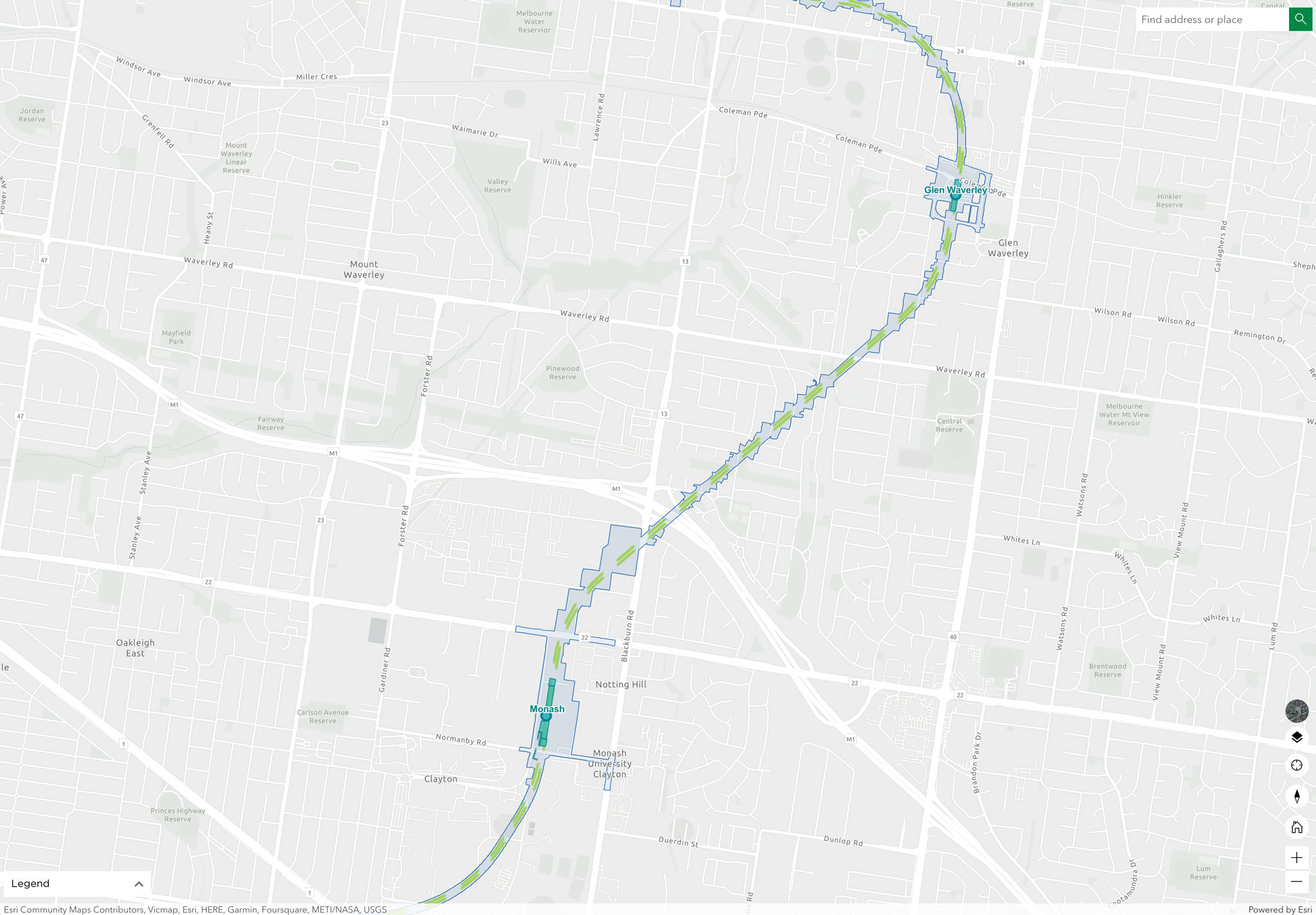
From Monash to Glen Waverley Stations, through Notting Hill, Mount Waverley & Glen Waverley. Featured locations include Scotchmans Creek and the Valley Reserve.
Here’s some community groups we met and further reading we learned from:
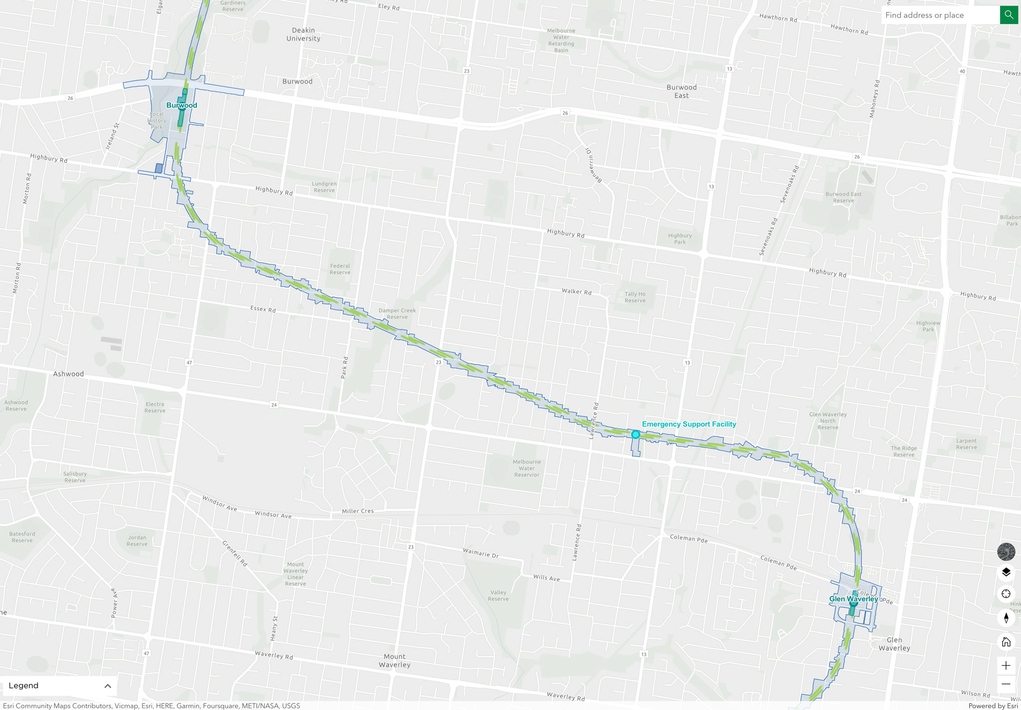
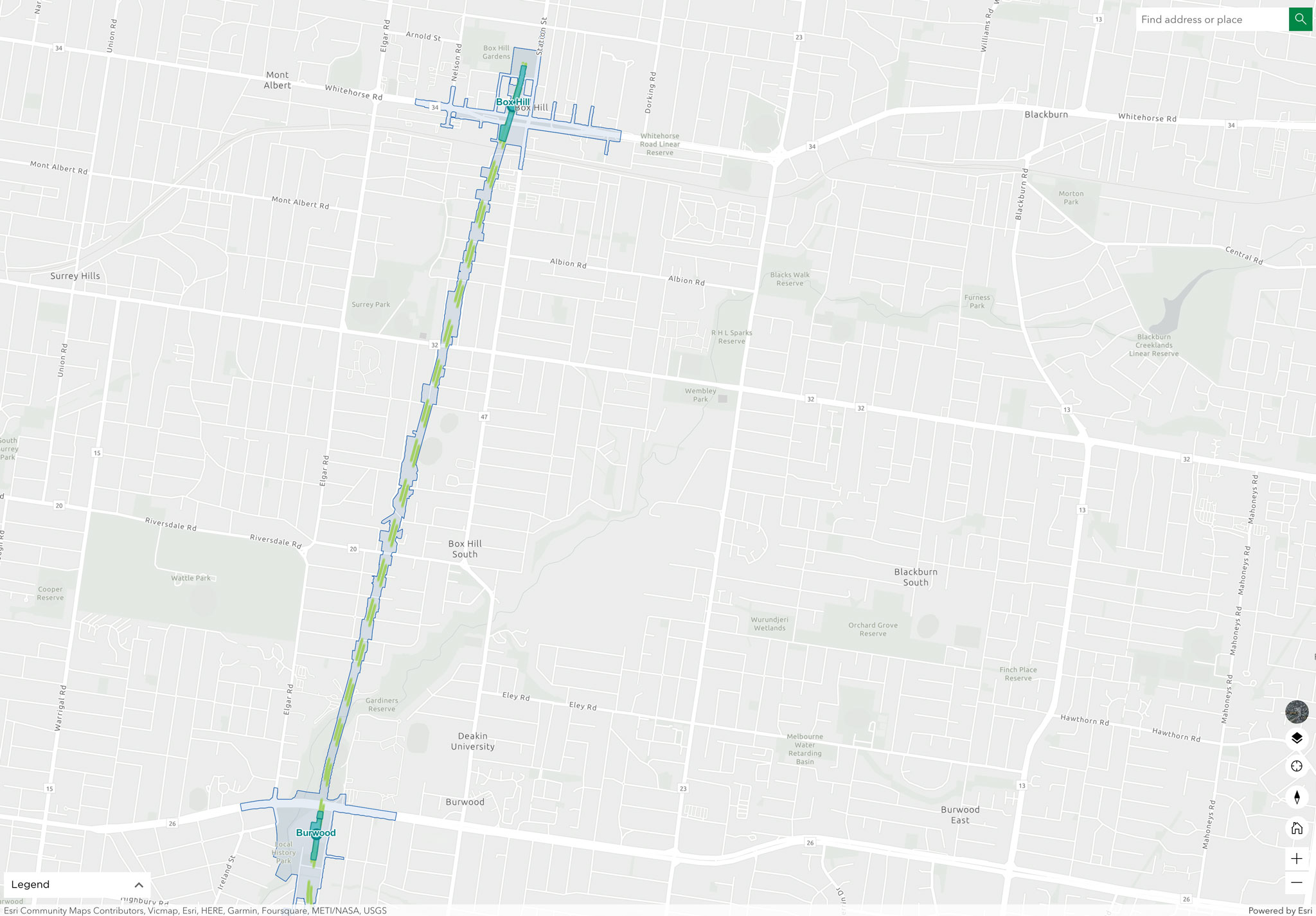
From Glen Waverley to Burwood Stations, through Mount Waverley, Ashwood & Burwood. Featured locations include Damper Creek Reserve and the Local History Park along the Gardiners Creek.
Here’s some community groups we met and further reading we learned from: