Welcome to the ~FLOWING LOOPS~ Podcast, exploring the flows, loops & lines of the Suburban Rail Loop East, across the lands and waters of Boon Wurrung and Wurundjeri Country.
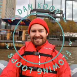
In this teaser episode Dan Koop introduces the rest of this podcast series from where it all began at Beaumaris overlooking the salt water of Narrm (Port Phillip Bay). To begin, Dan outlines his creative practice and explains that this podcast series is the third and final part of a longer artistic journey shared with many people.
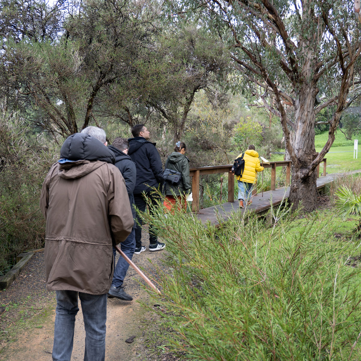
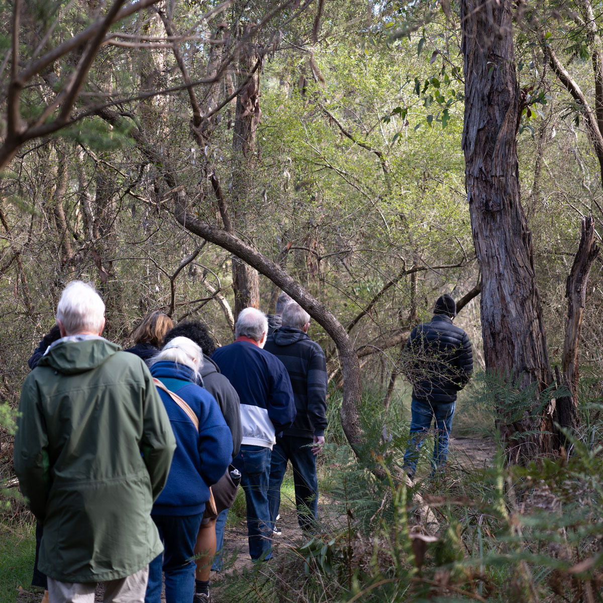
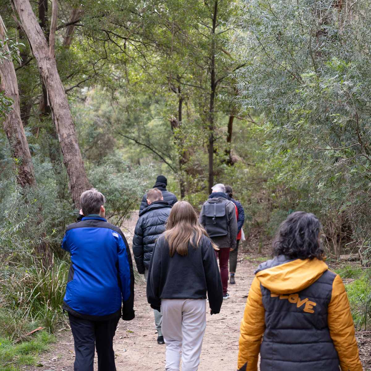
First, the ~FLOWING LOOPS~ artists walked and talked to begin to encounter this place, then we hosted creative walkshops to exchange knowledge with local communities. This process generated new maps of the areas and is how we came to know the fantastic people we continue talking to in this podcast series.
There are 12 more episodes following our journey from Cheltenham to Box Hill, with each episode introducing you to a wonderful person we met along the way.
~FLOWING LOOPS~ acknowledges we have been walking Boon Wurrung-Bunurong and Wurundjeri-Woi Wurrung Country, part of the Kulin Nations where sovereignty was never ceded nor treaty negotiated. We pay our respects to Elders and knowledge holders of past, present and future. This always was, and always will be, Aboriginal Land.
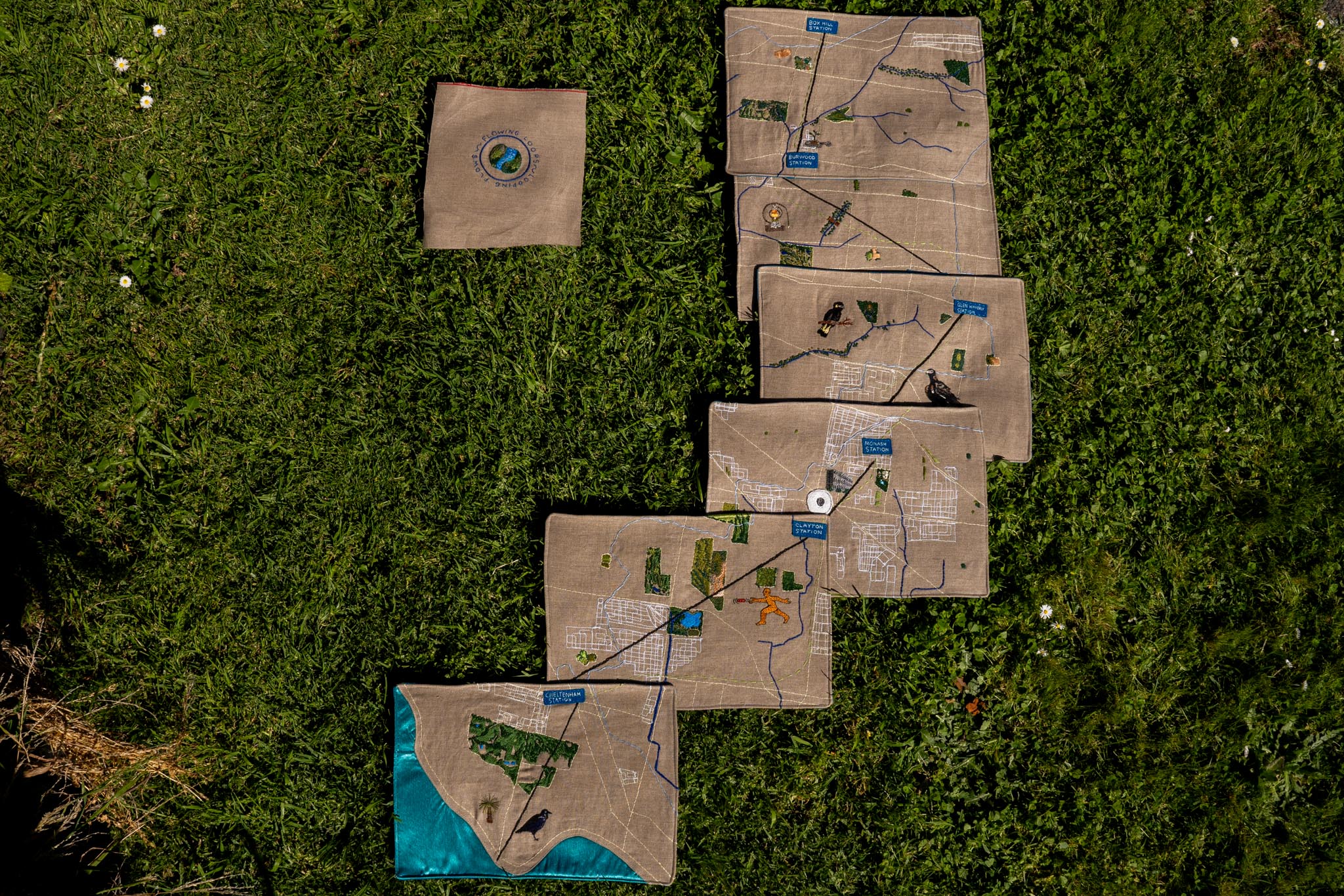
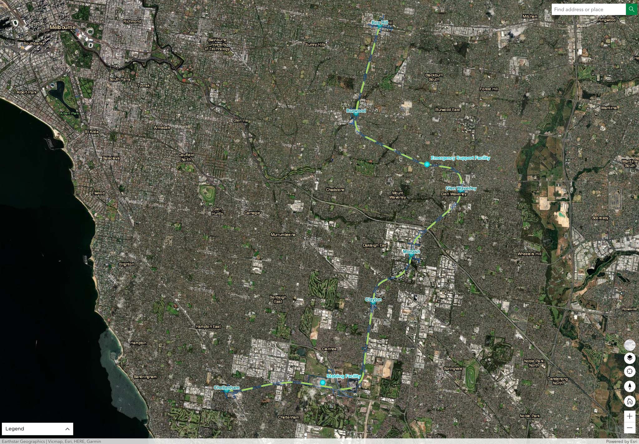
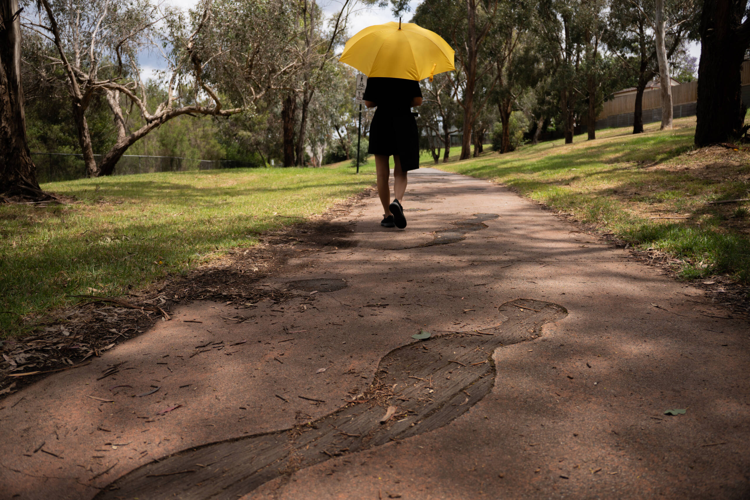
Dan Koop & six artists walked & talked following the route of the yet to be built Suburban Rail Loop from Cheltenham to Box Hill, looking for flows, loops and lines along the way.
Sometimes they followed the path of the new rail route, sometimes the shortest distance between stations and sometimes they followed the natural of flowing water already in the landscape.
Rather than a single epic journey, these landscapes were returned to at different times of year, following different routes and directions, much like we could imagine travellers on the train taking multiple journeys throughout a year.
Over time these routes intersected with different places and provided opportunities to make new connections with the community, such as Friends of groups, exercises, dog walkers, bird watchers and frisbee golfers.
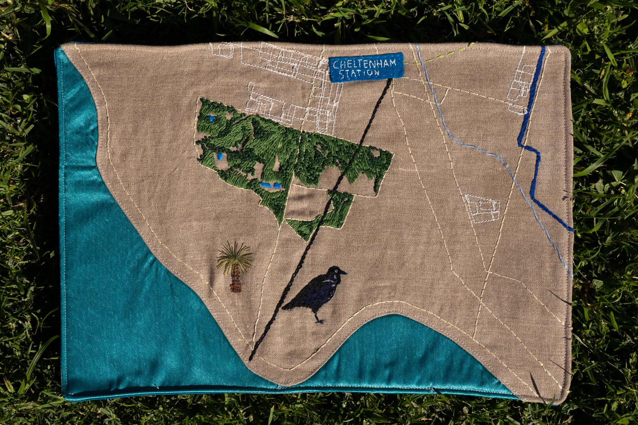
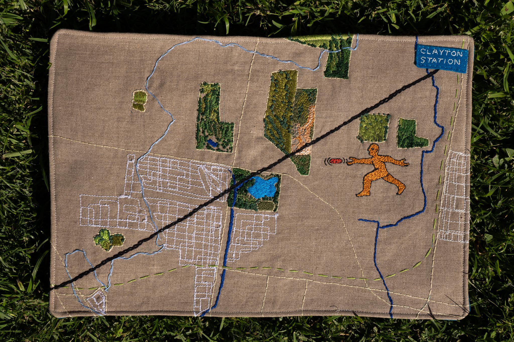
We’ve divided our route into six maps, one for each of the new or upgraded train stations:
Cheltenham – From the bays edge at Ricketts Point to Southland Station, through Beaumaris, Black Rock & Cheltenham. Featured locations include Ricketts Point and Sir William Fry Reserve.
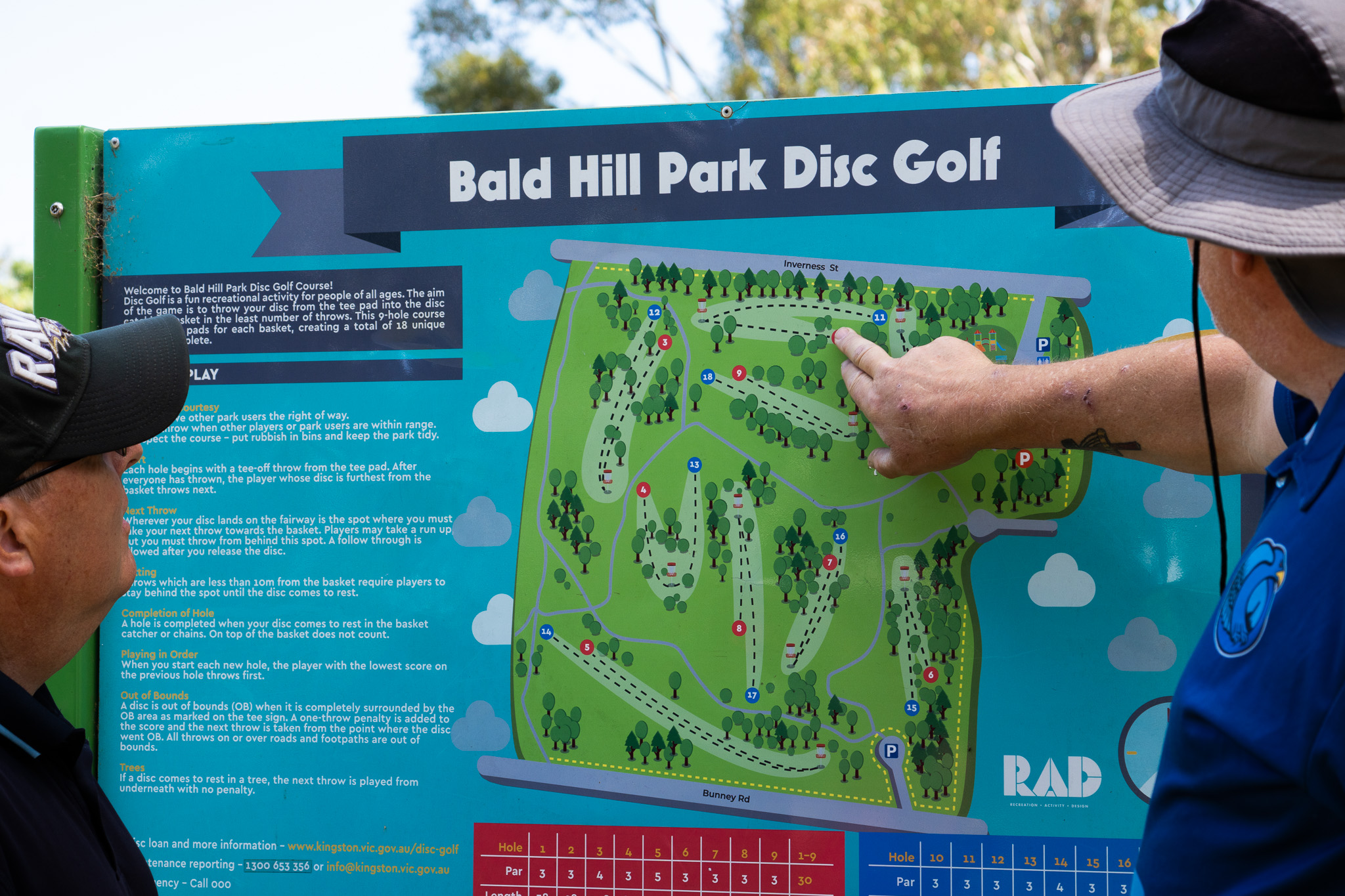
Clayton – From Southland to Clayton Stations, through Cheltenham, Heatherton & Clarinda. Featured locations include Karkarook Park, Namatjira Park and Bald Hill Disc Golf.
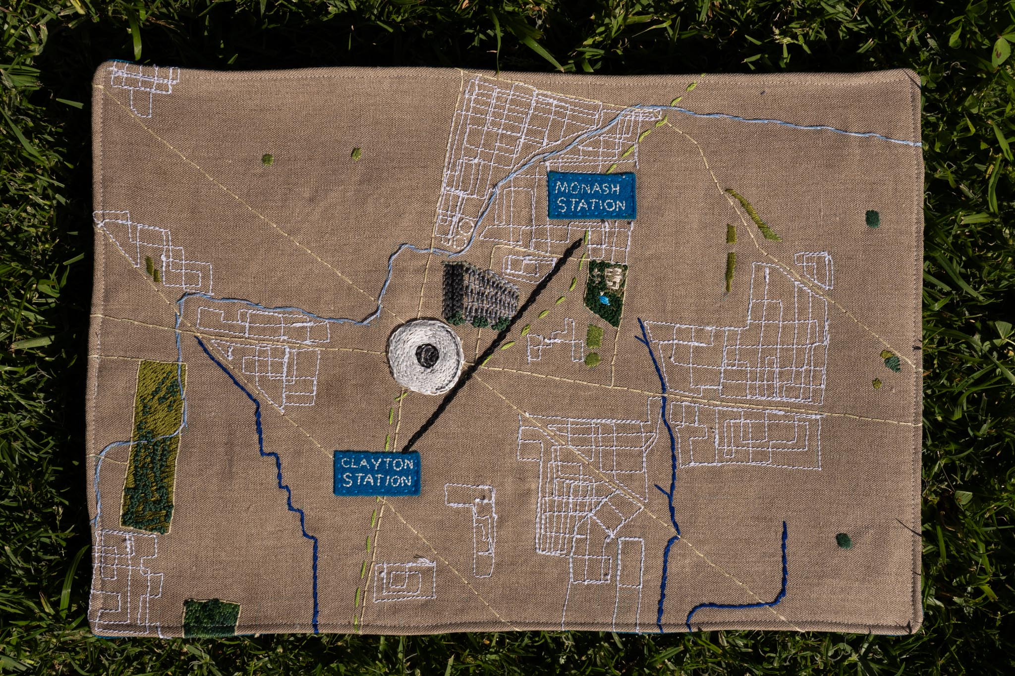
Monash – From Clayton to Monash Stations, through Monash University’s Clayton Campus. Featured locations include Public Art at the Monash campus and the Science Centre Lake at the Jock Marshall Reserve.
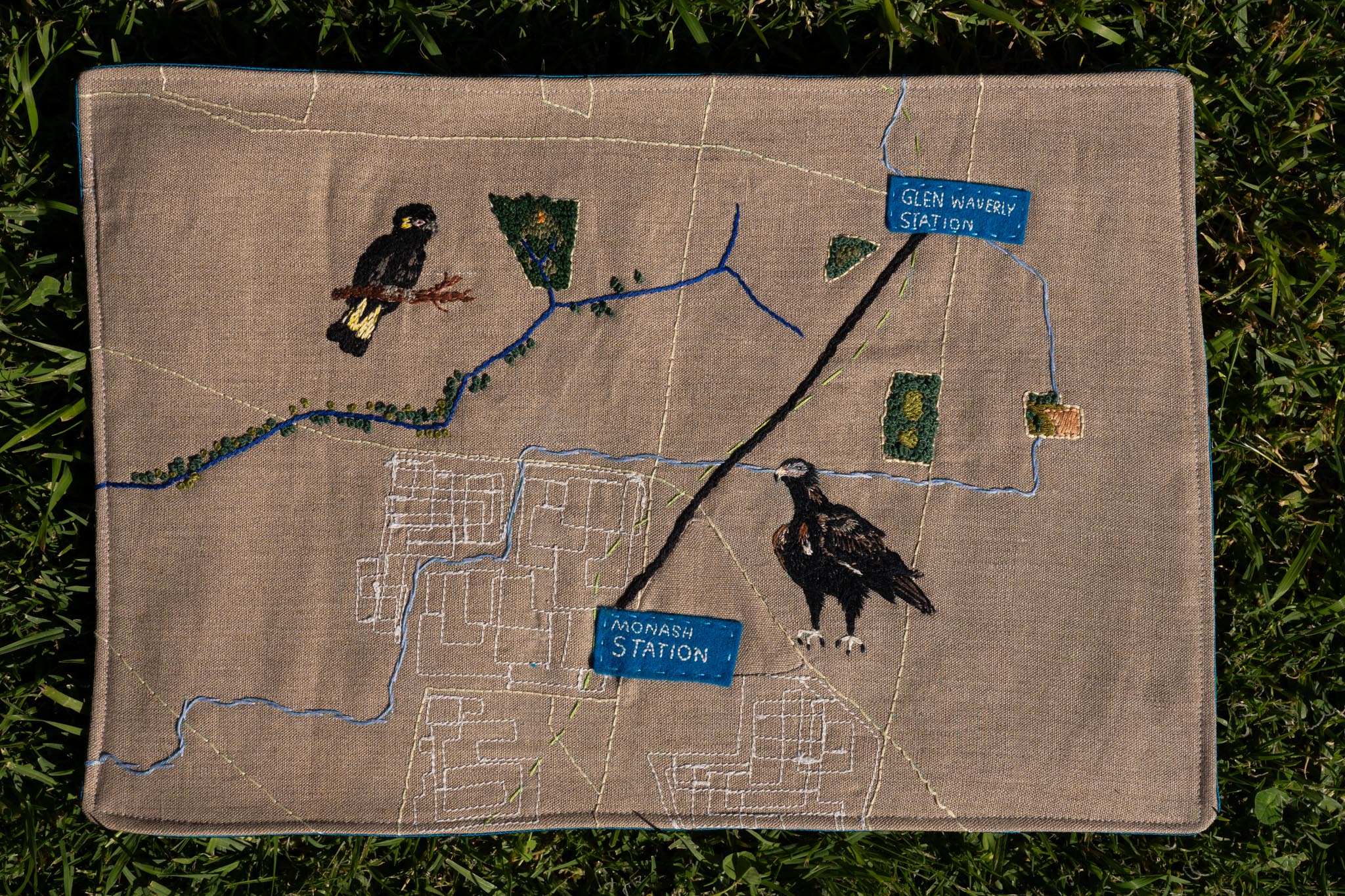
Glen Waverley – From Monash to Glen Waverley Stations, through Notting Hill, Mount Waverley & Glen Waverley. Featured locations include Scotchmans Creek and the Valley Reserve.
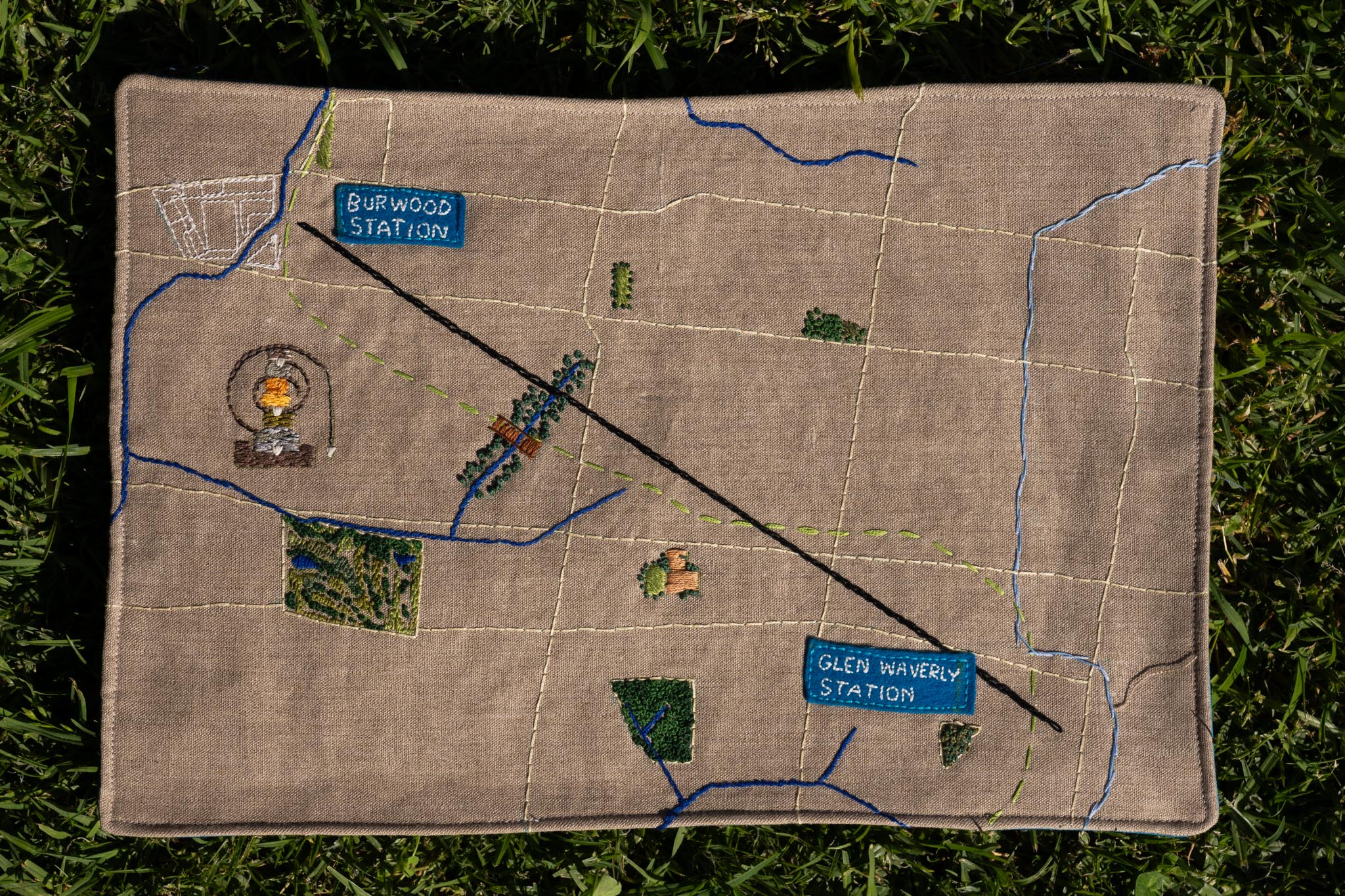
Burwood – From Glen Waverley to Burwood Stations, through Mount Waverley, Ashwood & Burwood. Featured locations include Damper Creek Reserve and the Local History Park along the Gardiners Creek.
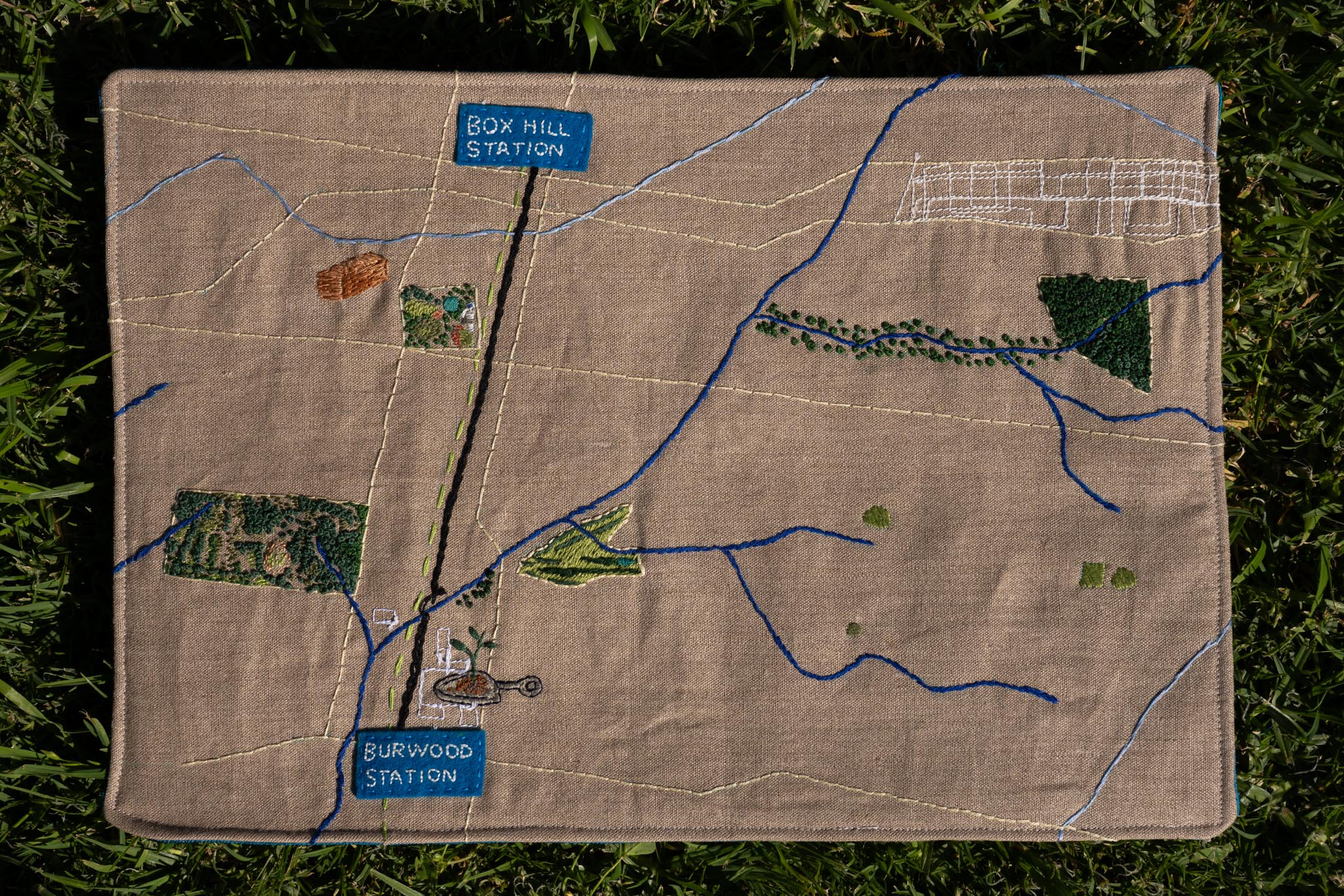
Box Hill – From Burwood to Box Hill Stations, through Burwood, Box Hill South and Box Hill. Featured locations include Surrey Park and Box Hill Gardens.
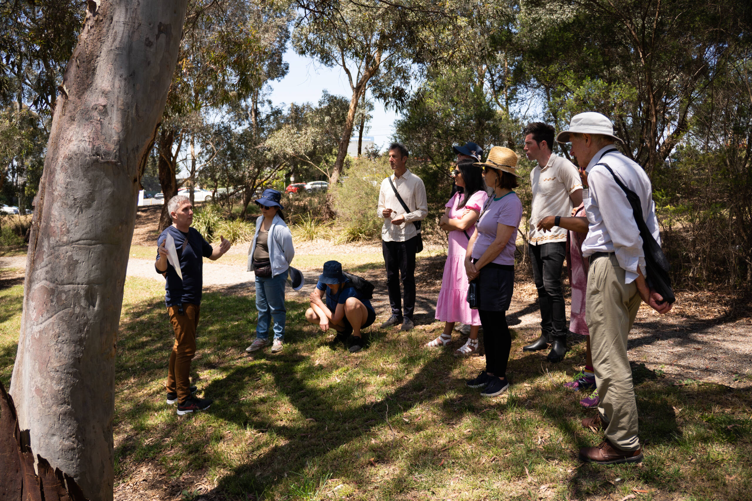
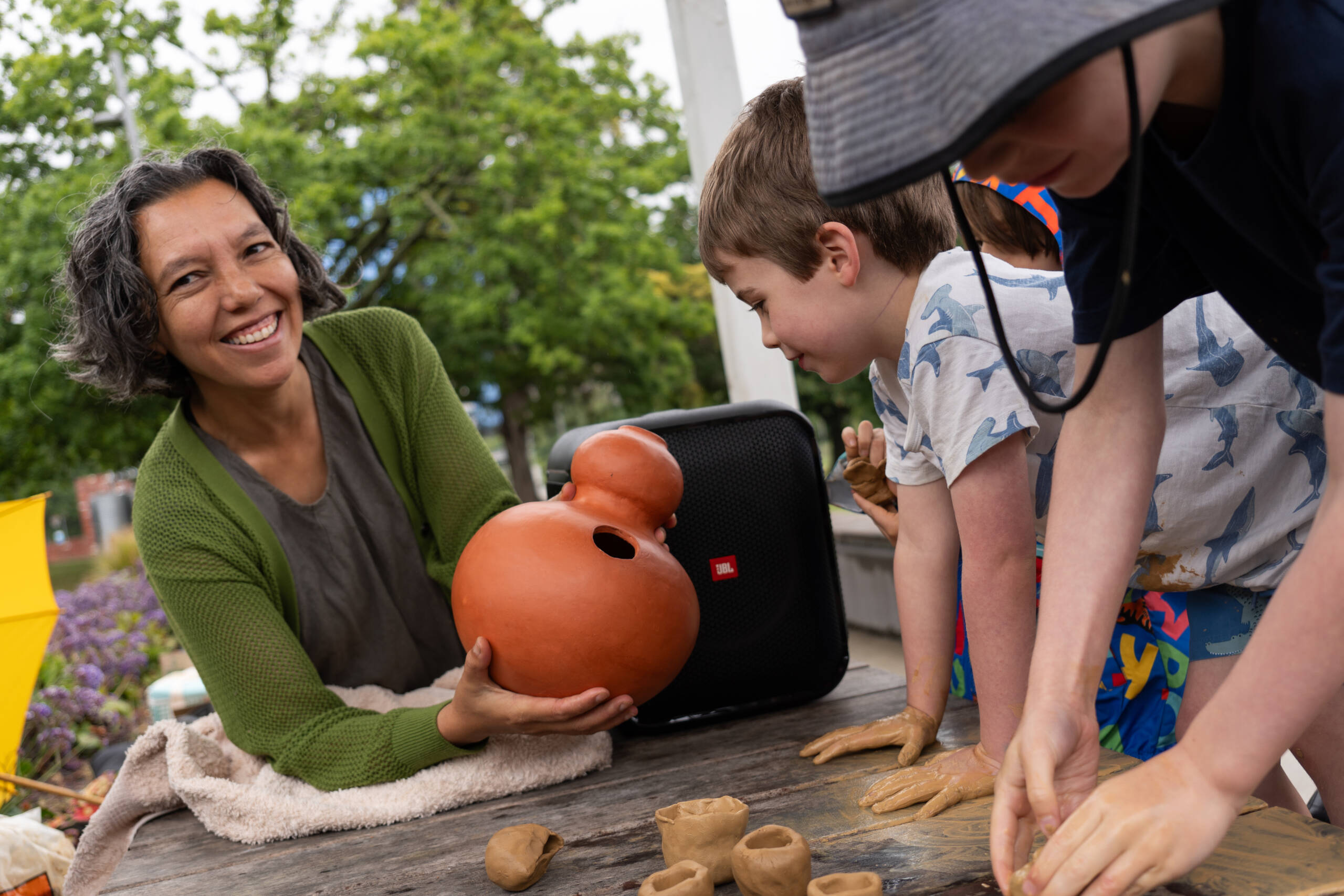
Walkshops were a chance for artists to meet locals and share knowledge about the places we walked. There were two rounds of walkshops in May-June and in November 2023.
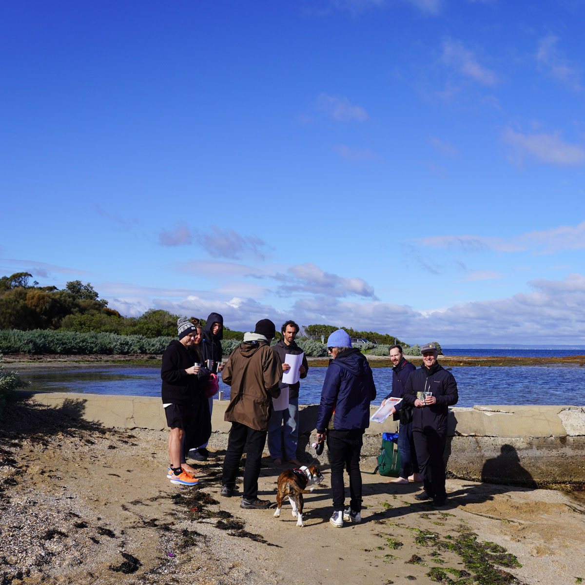
20 May, Ricketts Point, Beaumaris
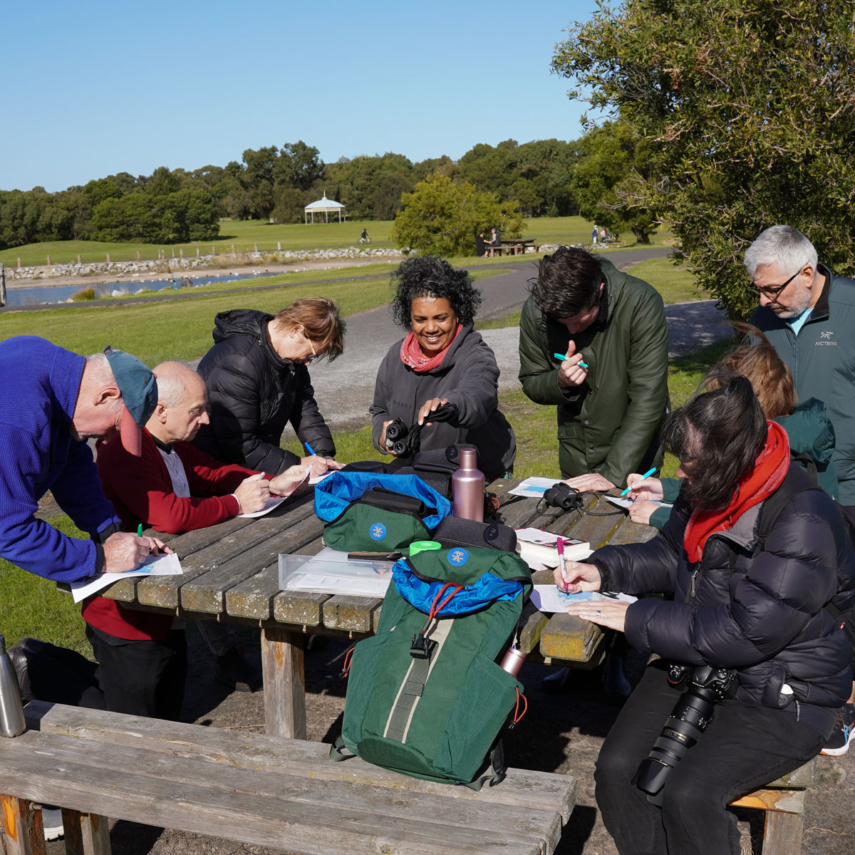
27 May, Karkarook Park, Warrigal Rd, Heatherton
3 Jun, Science Centre Lake, Monash University, Clayton